
Satellites link rain, drought intensity to global warming
The intensity of extreme water cycle events -- especially drought and precipitation or flooding -- correlates strongly with a continuing rise in global temperatures, according to a study published Monday.
Applying a novel method, researchers used satellite observations to quantify and rank more than a thousand extreme weather events over the last 20 years that have up to now defied easy measurement.
Rainfall and soil moisture -- or the lack of it -- have previously been the main yardstick for assessing intensity.
"Warm air increases evaporation so that more water is lost during droughts, and warm air also holds and transports more moisture, increasing precipitation during wet events," co-author Matthew Rodell of NASA told AFP.
"So what we are seeing –- greater intensity of extreme wet and dry events as the world warms -– makes sense."
Since 2015, the frequency of the highest category extreme events has increased to four per year, compared to three per year over the previous 13 years, the study reported.
The scientists were nonetheless surprised at how closely the pace of global warming tracked with the intensity of disruptions in the water cycle.
The impact was even stronger than naturally occurring El Nino and La Nina weather phenomena, they reported in the journal Nature Water.
The findings leave little doubt that increasing temperatures will cause more frequent, widespread and severe droughts and precipitation events in the future.
Earth's surface has warmed, on average, 1.2 degrees Celsius since the late 19th century, and -- on current policies -- is on track to heat up 2.8C above that benchmark by 2100.
By far the largest extreme event of the past 20 years was a sustained deluge over central Africa that "dwarfed" all the others measured.
- Bracing for worse -
It caused Lake Victoria to rise by over a metre (3.3 feet) and was still ongoing in 2021 when the study concluded.
"It's probable that the string of top-ten warmest years (2015-2023) is helping to sustain these ongoing events longer than they would have under more normal global temperature conditions," said Rodell.
About 70 percent of the events measured lasted six months or less, with an average duration of five to six months.
Roughly a third of the top 30 wet and dry events globally occurred in South America. More broadly, the correlations were particularly strong in tropical climates.
The most intense dry event registered happened in the Amazon during the hottest year on record.
The research offers concrete support for the IPCC's most recent assessment report, which found that the severity of extreme water cycle events is increasing.
Extreme droughts and floods are ranked as some of the world's worst disasters with huge impacts for the economy, agriculture and society.
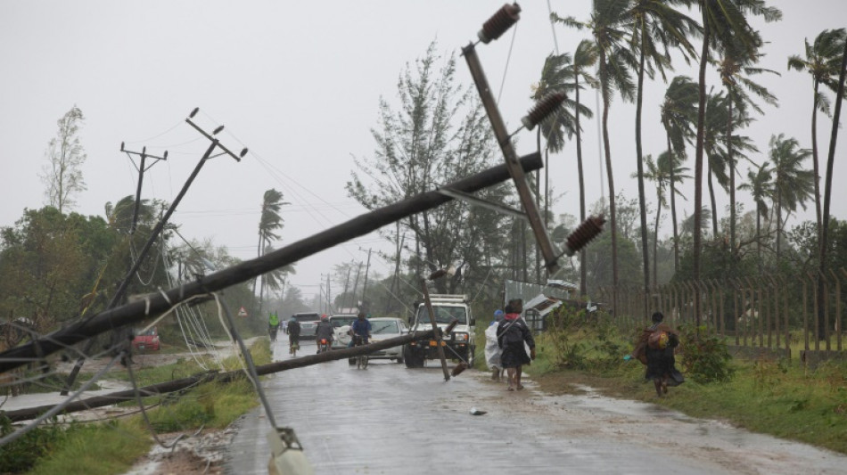
Tropical cyclone Freddy made a loop rarely seen by meteorologists when it returned to hit Mozambique for a second time on Monday, killing at least 70 people in Malawi and Mozambique and displacing thousands.
It is on track to be named the longest cyclone on record after its initial landfall in late February.
"The conclusion of this study suggests that preparation and adaptation will be that much more important in the future," said Rodell.
V.Vega--LGdM

